Bannock Detachment
JAK's Geology
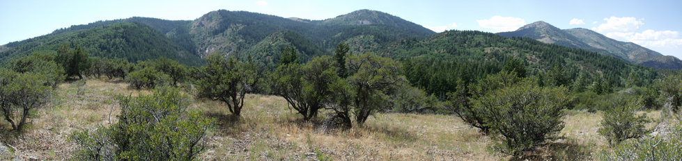
Photo: Students stand in front of the low-angle Valley fault in the southern Portneuf Range, Idaho.
Publications:
Keeley, J. A., Rodgers, D. W., Link, P. K., and Cooley, S., 2011, Geologic map of the Thatcher Hill quadrangle and portions of the Treasureton and Cottonwood Creek quadrangles, Franklin, Bannock, and Caribou counties, Idaho: Idaho Geological Survey Technical Report 11-2, scale 1:24,000, 1 sheet.
Keeley, J.A., and Rodgers, D.W., 2015, Testing the Bannock detachment breakaway: Negative results support domino style fault block rotation along the Valley fault, southern Portneuf Range, southeastern Idaho, U.S.A.: Rocky Mountain Geology, v. 50, no. 2, p. 119–151.
(see figures here)
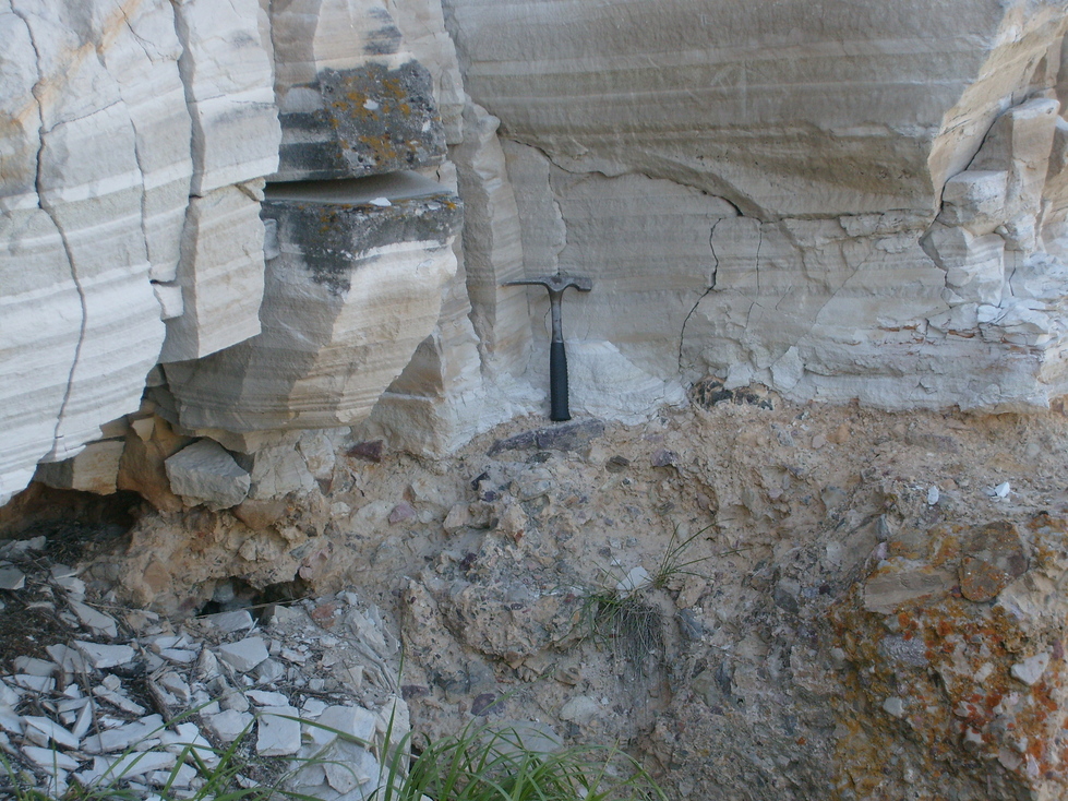
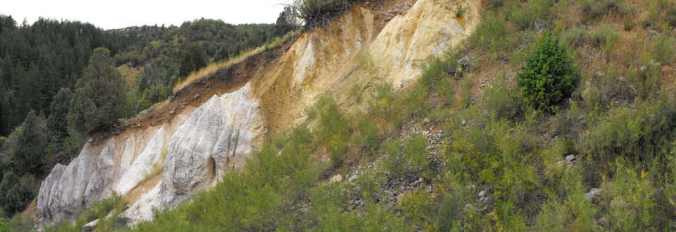
Photo: ~8Ma Volcanic ash of the upper Salt Lake Formation, hammer for scale.
JAK's Geology